Author: Richard McSephney
The Tanami has a reputation.
It’s very rough, not very interesting, it’s only a shortcut.
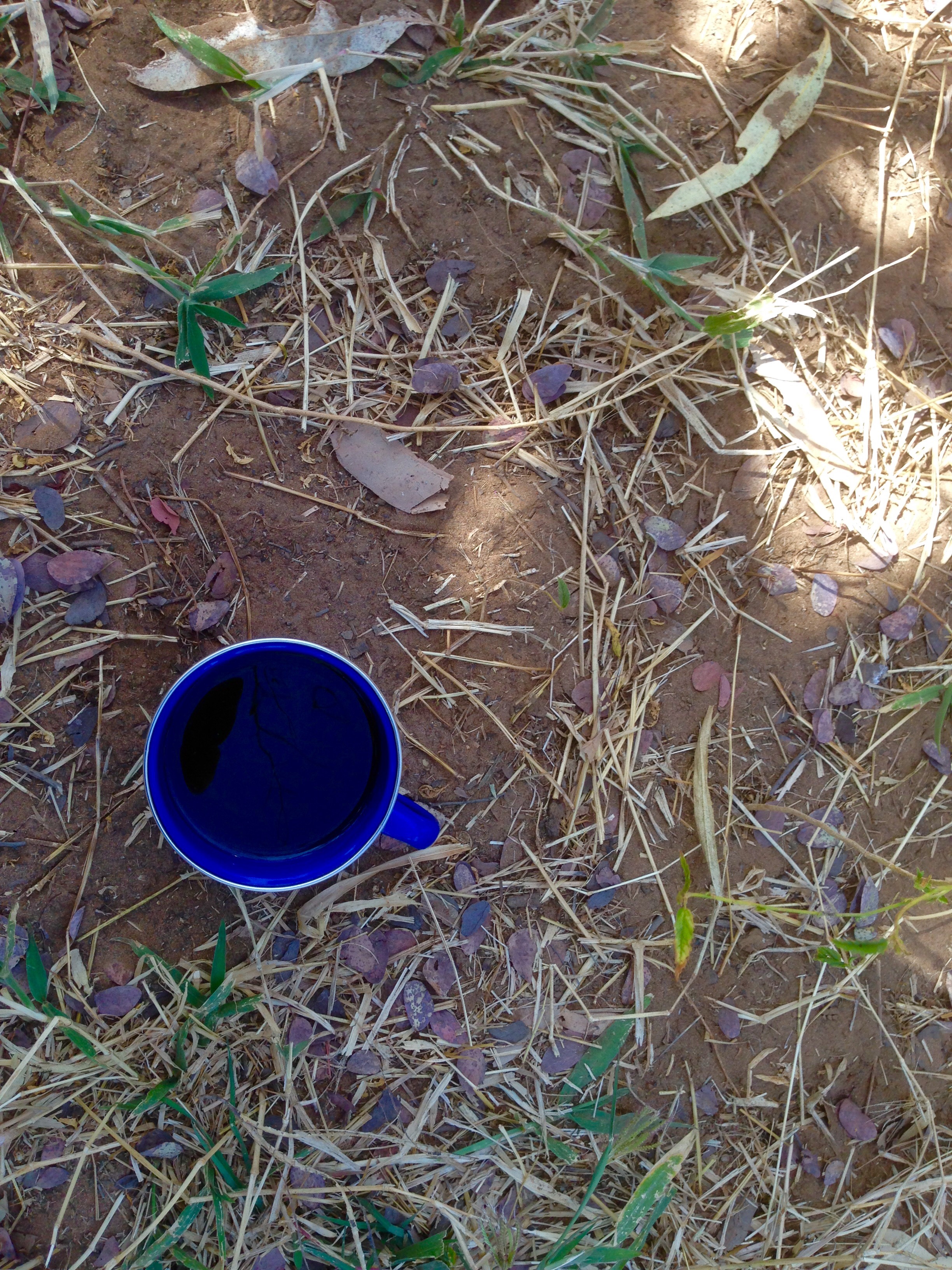
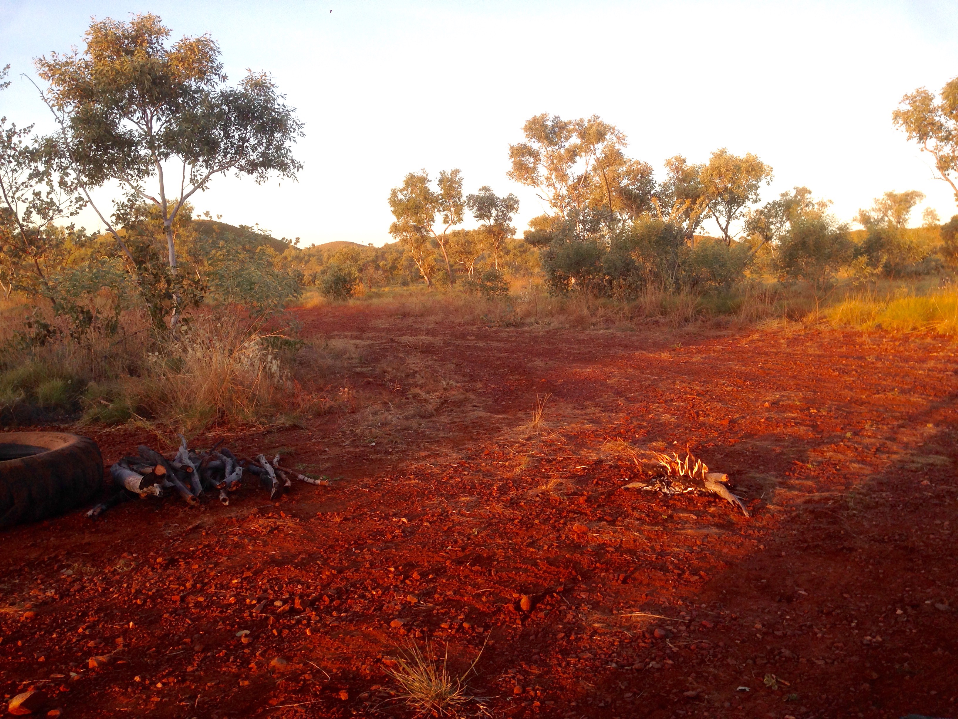
Well, I have to say I thought it was great. Maybe finding a couple of ripper bush camps helped?
I have to admit to being a real truck fan so for me watching out for the enormous road trains was an added bonus. These beasts are truly gargantuan. Think of a normal semi, or as others may call them articulated trucks. These beasts have four of those trailers joined on the back so your looking at about 60 meters long being towed along by a 600 horsepower Kenworth.
These trucks are made in Victoria from an American design modified for the harsh Australian conditions. Around 50,000 of them have been manufactured since their introduction in the 70s but out here they are truly the king of the road so imagine my surprise as I see one in the distance, let’s say 2 km away. My eyes must be deceiving me. It’s on my side of the road.
Now what is the etiquette in these circumstances?
It’s very easy. Move over and let him go any where he wants! I did and that’s why I’m still able to write this piece.
To be fair it was an extremely rough piece of track and he was trying not to turn to a cocktail the 100,000s litres of fuel he carried. He was plying his trade from Alice across the Tanamai to points north and west. This is the north west’s life blood. We certainly found that out when we arrived in Halls Creek and found closed signs on the diesel pumps.
What do we do now asked a visitor?
Wait until the Roadtrain arrives! When will that be? When he arrives!
I really enjoy the drive, we keep a distance between the vehicles. The dust hangs in the air making forward vision almost impossible. I mean for at least 60 m of zip if a Road train passes.
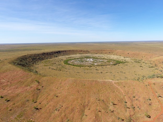
We approach Wolf Creek!
Now I’m not a horror fan but for those who like to entertain themselves with fear, this location is the site of an horror film par excellance. I’m just not into that entertainment. In fact I’ve been known to cause great entertainment to others who find my easily alarmed nature amusing.
Take the other night.
We walk in darkness to a local hotel in Halls Creek. Two Aboriginal ladies join us and give us direction to the hotel entrance. I lead and as we walk up the path there’s some rustling in the undergrowth. My alarm level rises and unlike other circumstances where the rustling recedes, It doesn’t this time and continues toward me. Well I start hopping about squealing and carrying on like a pork chop ( for non Australians that means acting like a fool). Then a large cane toad appears. My dance pace increases with steps that at audition for Michael Flately’s troupe would have me touring with them in a flash.
I reach the hotel entrance and safety only to hear the chucking of our Aboriginal guides, muttering to each other about this dopey white fella. They of course are probably crocodile wrestlers and can’t understand what the ridiculous fuss is about. Still probably gave them a story to tell their pals who I could envisage all shaking their heads in disbelief.
I learnt my dance steps from earlier experience s with frogs. Whenever I saw a frog in the garden when the kids were young I would hop about like a complete idiot explaining to them that I just didn’t want to step on the poor chap. I think they never swallowed that either!
So Wolf Creek horror film would never be for me.
I think briefly that I should suggest we camp here for the night out of sheer bravado and so I could say to anyone who won’t “chicken eh?” but can’t think of a sound excuse for withdrawing my suggestion if anyone actually agrees. So I dare not raise it.
If you’ve seen the film you’ll realise that the acting from those who should be awarded an Oscar doesn’t actually come from their skills learnt at acting school but the realistic terror is real. They had no idea what was going to happen and were really terrified. I can’t help but laugh….from a great distance with the lights on!
The crater is astonishing, written about elsewhere in the blog.
I fly the drone to about 100m altitude and take some photos. There’s a blip and the vision signal is lost. I see the drone so ignore the auto return to home and manually fly it back, re boot the system and set off again. A second warning ⚠️ sounds and again the return to home is triggered. I grab a couple of quick shots and land wondering if maybe my drone has caught my sense of spookiness.
I pack it away and we’re on our way.
As we approach Halls Creek I reflect on the previous couple of days in the desert.
I don’t care what’s said about the Tanami I loved it.
Sent from my iPad